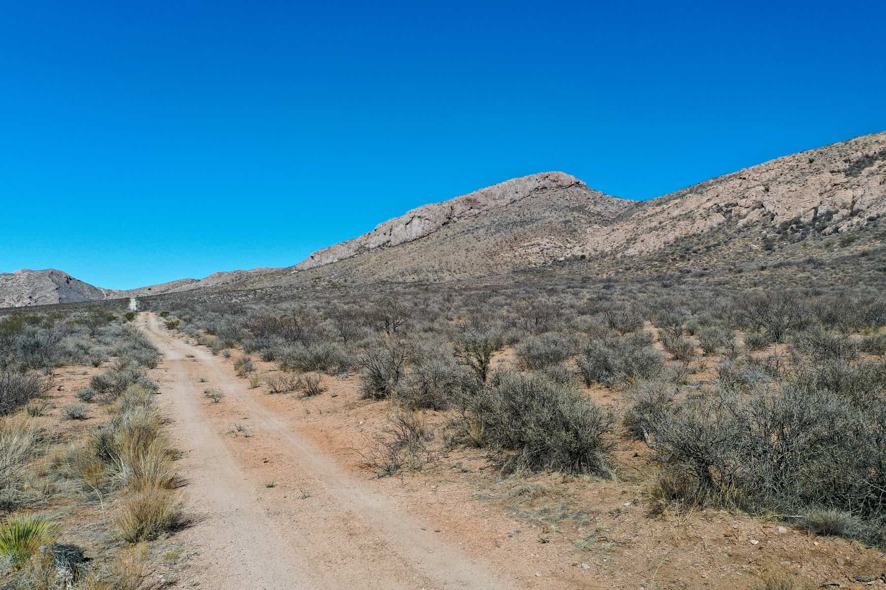
Only 2 hours from Tucson this 40 Acre parcel with Amazing Mountain Views in Cochise County has Owner Financing Available!
PAYMENT OPTIONS
SELLER FINANCING
DISCOUNTED CASH PRICE
Reservation Process: If you are interested in reserving this parcel, please choose a reservation method (cash or seller financing) and then click “Reserve Now” button. You will be redirected to our payment page to make the reservation payment of $199 and submit your contact information for the contracts.
Please visit our frequently asked questions page if you would like more information about the purchasing process!
DETAILS
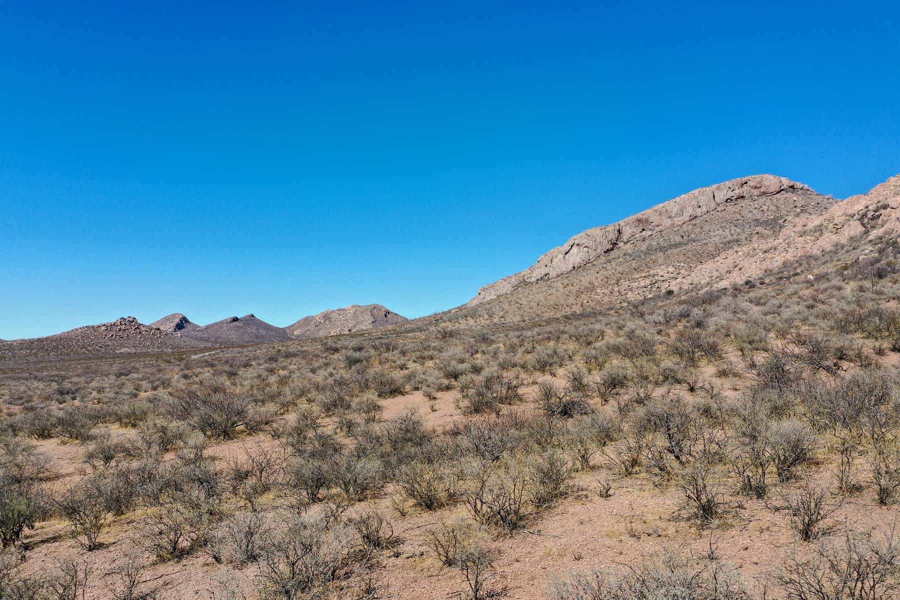
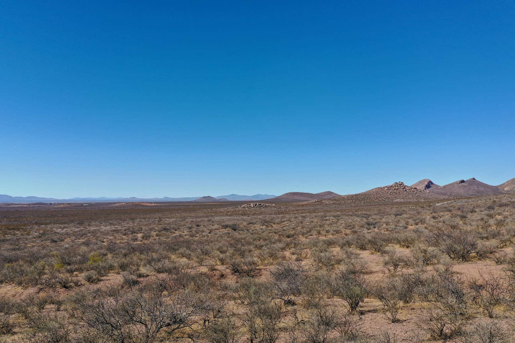
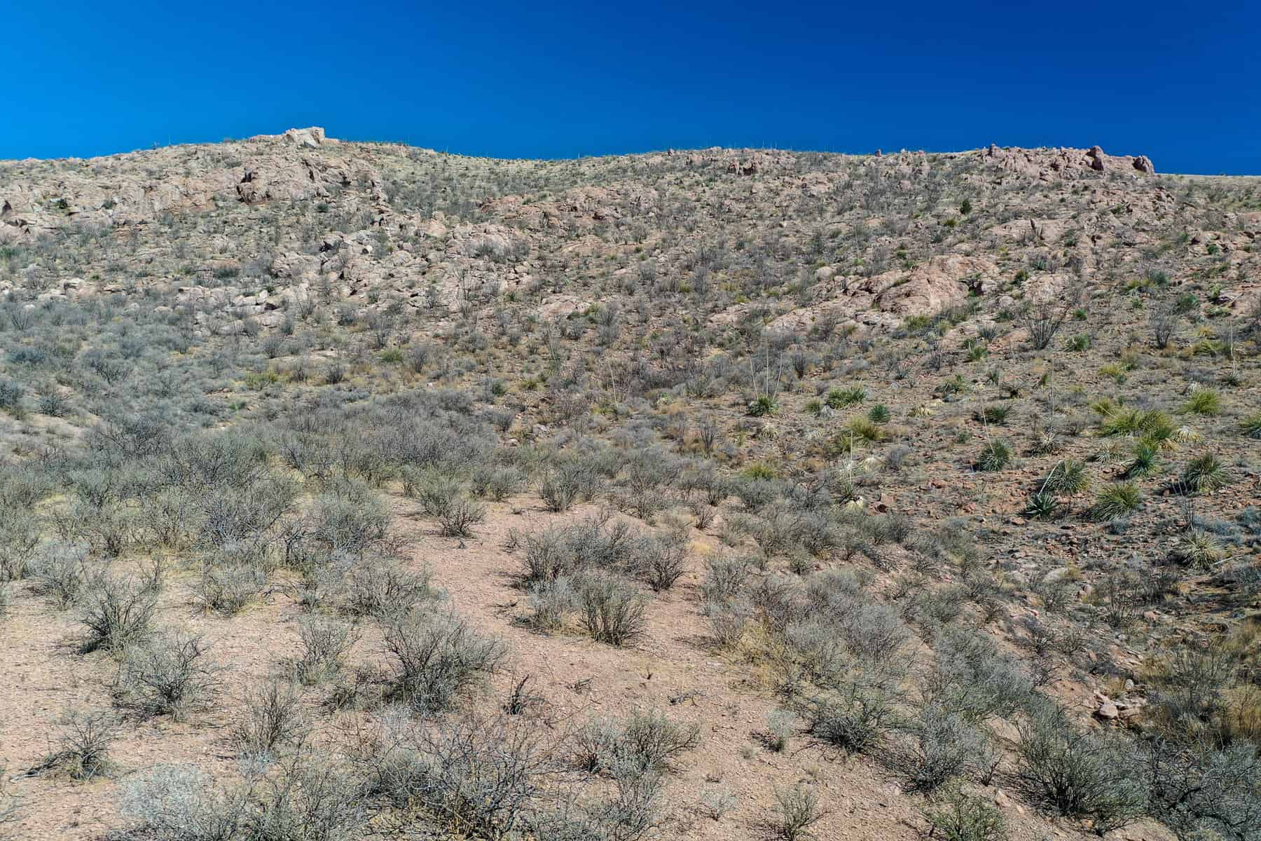
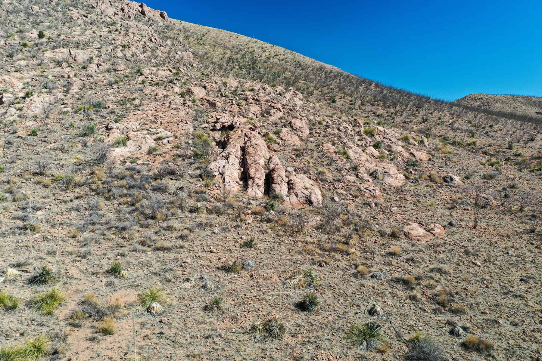
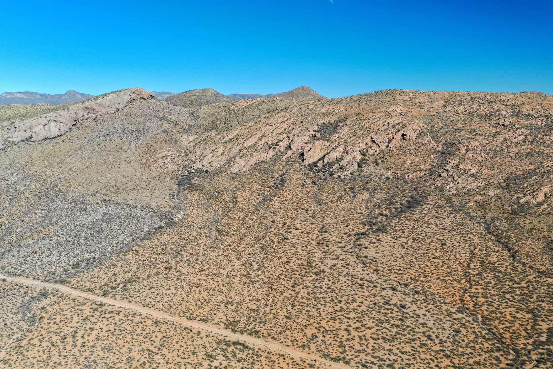
Just 40 minutes away from Whitewater Draw Wildlife Area! Absolutely stunning 40 acre parcel located outside of Douglas, Arizona. Beautiful mountain views of hills with thousands of acres of state land next door. Build something great or just have some great land!
Mobile homes allowed! There is no HOA for this property. You can do what you want without having to worry about what the homeowner’s association has to say about it. Septic would be needed for sewage, solar for electric, and water would be either a well or hauled.
View the night skies as you have never probably seen them before! Dirt road access and the property has a slight slope to it. Owner Financing is Available!
Purchasing Options:
Seller Financing: $31,900.00. $3,190.00 down and $520.87 a month for 96 months. The total monthly payment includes: $466.62 of principal & interest, $20.00 loan servicing fee, $34.25 property taxes, and $0.00 HOA dues. There are no prepayment penalties!
** Monthly principal & interest of $466.62 based on a financed purchase price of $31,900.00 less the downpayment of $3,190.00 for a net amount financed of $28,710.00 that is payable over 96 of equal installments with an amortized interest rate of 12%.
Discounted Cash Price: $30,400.00.
Nearby Attractions:
Texas Canyon: Located in the desert of southern Arizona between Benson and Wilcox, the Texas Canyon is a beautiful area with some of the most interesting, huge rock formations in the lower 48 states. Highly recommend pulling into the rest area to take in the natural beauty along this short stretch of I-10.
Tombstone: Fan of Western movies? Then there’s no doubt you’re already familiar with Tombstone and the infamous gunfight at the O.K. Corral. But instead of walking in the footsteps of Kurt Russell on some Hollywood set, walk the wooden boardwalks along the dusty main drag in the real mining town of Tombstone. After getting its start as a silver mining claim in the late-1870s, the settlement grew along with its Tough Nut Mine, becoming a bustling boomtown of the Wild West. From opera and theater to dance halls and brothels, Tombstone offered much-needed entertainment to the miners after a long shift underground. In 1886, the mines flooded and hit rock bottom, and the miners moved on to the next claim.
Echo Canyon Trail: This trail is an intense and difficult anaerobic hike the entire 1.23 miles to the summit. It ascends approximately 1,280 ft, from 1,424 ft above sea level to 2,704 ft. Getting a parking spot can be a long wait if you arrive on the weekend after 6 AM as there are Climbers galore. Be sure to bring plenty of fluid, and if you are not an experienced hiker call Jason 612-599-3616 to schedule a guided hike. You can anticipate the round trip hike to take about 2 to 3 hours.
Property Details:
NEAREST LARGE CITY: Phoenix, AZ
STATE: Arizona (AZ)
COUNTY: Cochise
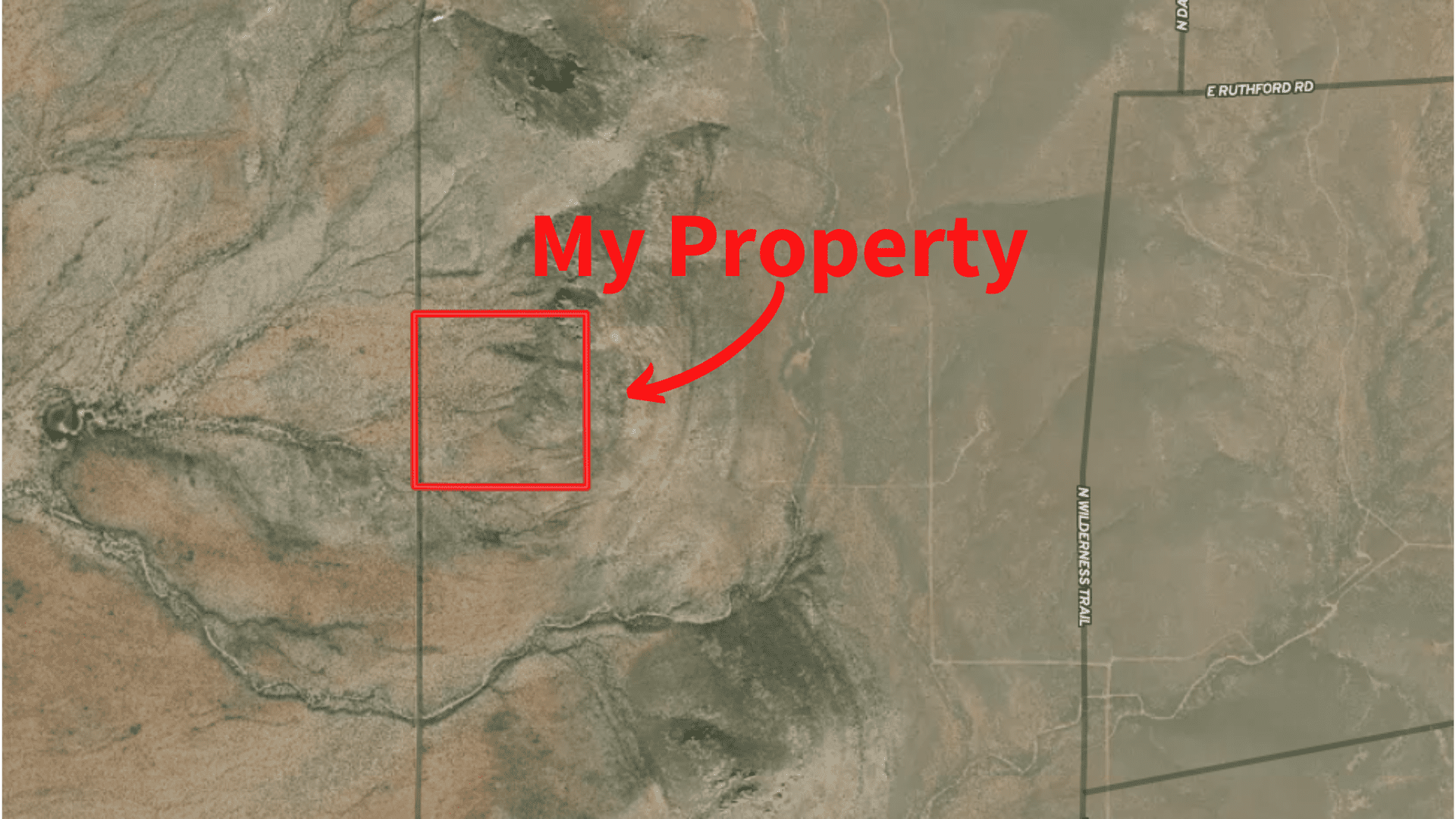
ADDRESS: Douglas, AZ 85607
SIZE: 40.00 Acres
APN(s): 405-45-006B / 0 / 0 / 0 / 0 / 0
GPS COORDINATES: 31.492713,-109.510253
PROPERTY ELEVATION: 4460 feet above sea level
TAXES: No back taxes, approximately $ 411.04 per year total
HOA Dues: Approximately $0.00 per year total
ACCESS: Dirt
ZONING: RU – 4 (Rural)
SEWER: Onsite Septic Would Need to be Installed
WATER: Hauled/Delivered
DISTANCE TO ELECTRIC: Distance Unknown
FEMA FLOOD ZONE: No
TERRAIN: Gentle Slope
CONVEYANCE: Warranty Deed
TITLE: Free and Clear
FSL ID: AZ-COC-72303A
VIDEOS

powered by Advanced iFrame
PROPERTY BOUNDARY MAP
powered by Advanced iFrame
DIRECTIONS AND INTERACTIVE MAPS
Google Maps Pin: This pin will allow you to use Google Maps to generate directions from anywhere in the world. Please click the button to use the pin.
MapRight Mobile Link: This link will allow you to use the free MapRight app to allow you to see the property boundaries using your phones GPS while on site.
The Fine Print
Any property information (including, but not limited to, all real property images, descriptions, pricing, locations and availability; hereinafter referred to as “Real Estate Information”) made available by or through this website is provided solely for informational purposes and is not guaranteed or warranted by Find Some Land LLC. Find Some Land LLC believes the Real Estate Information to be accurate and complete; however it is subject to change and/or correction without notice.
All information regarding the real estate advertised herein has been assembled through various sources and independent investigation should be conducted by all prospective buyers. Please verify all Real Estate Information through public records available through the County Clerk or Registrar in the county where the property is located. Buyer is responsible for conducting due diligence.
If purchasing with seller financing, the contract for deed stipulates that the property all improvements to the property must be approved in writing. Please feel free to contact us if this is an issue for you so that we can discuss your specific situation and plans. The approval can and will be provided at the same time as the contract documents.
RELATED PROPERTIES
Related products
-
140 acres within 45 minutes of Phoenix, AZ!
$175,000.00


